Posts

How To Build A Pond Or Lake

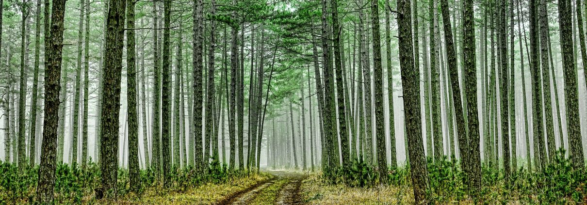
I had the privilege of selling some property to a great couple and they had a ‘must have’ requirement; they wanted a property suitable to building a lake and we found a great property located in Harris County, GA. The property was heavily wooded with a stream flowing through the property and the property had a great lake site and suitable soils. The contractor estimated the final lake size around 4.5 acres. Using a topographic map, I estimated the watershed area to be about 110 acres. Generally speaking, the watershed area should be about 4:1 (4 acres of watershed to 1 acre of pond or lake). Due to the size of the proposed lake and the intended use, the owners were able to get a permit through the NRCS (Natural Resource and Conservation Service) to construct the lake.

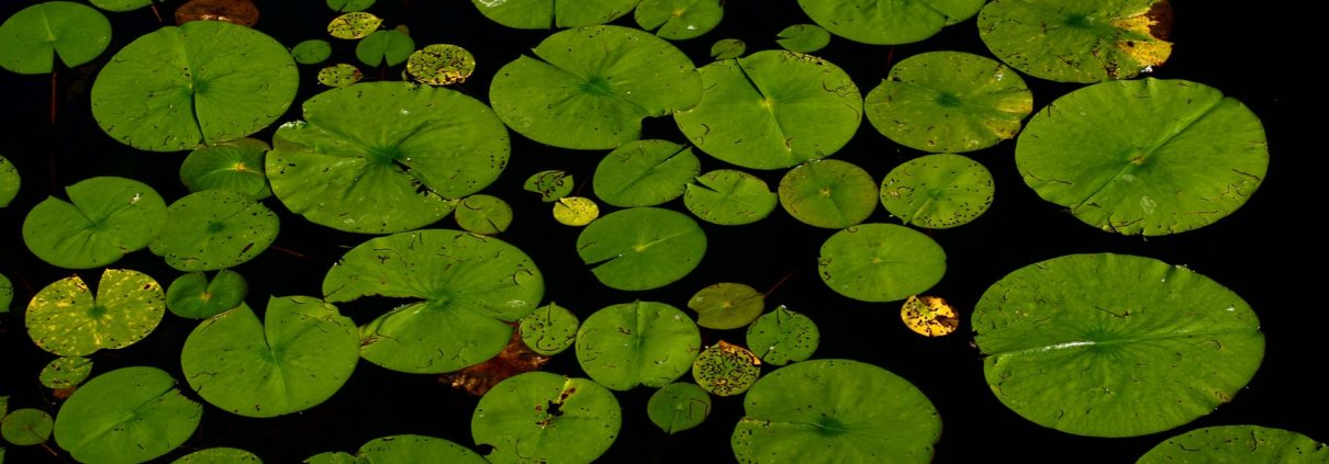
The number one attribute that buyers are looking for is water features such as a pond or lake! The addition of a pond or lake will add lots of value when it becomes time to sell. A pond or lake provides lots of opportunities such as fishing, canoeing, water source for irrigation, increases the aesthetic value of the property and much more.

Generally, the process starts with clearing the trees and brush. The brush can be burned and some of it can be used to build fishing habitat or structures for larger fish to hide and ambush their food sources.  A portion of the dirt is removed and used later on for constructing the dam for impounding the water. Another important issue is the presence of clay. The clay is used to key (core) the dam, creating an impermeable layer inside the dam that the water can not pass through. That is why land with a high content of sand is not suitable for constructing a pond or lake. The topsoil is stockpiled and used later to dress up the dam so the dam can be vegetated.  Beware…keep the trees on the back side of the dam cut.  When tree roots die, they can become channels for water to seep through the dam.

Use a professional to design the pond and dam. A 100-year rain event can destroy a dam if not properly designed with a spillway to handle the runoff.

For the most part, contractors are now using siphoning systems to control the water level. Metal pipes and valves tend to rust over time. I went back from time to time to document through pictures and video the construction process. This process took over 1 year!

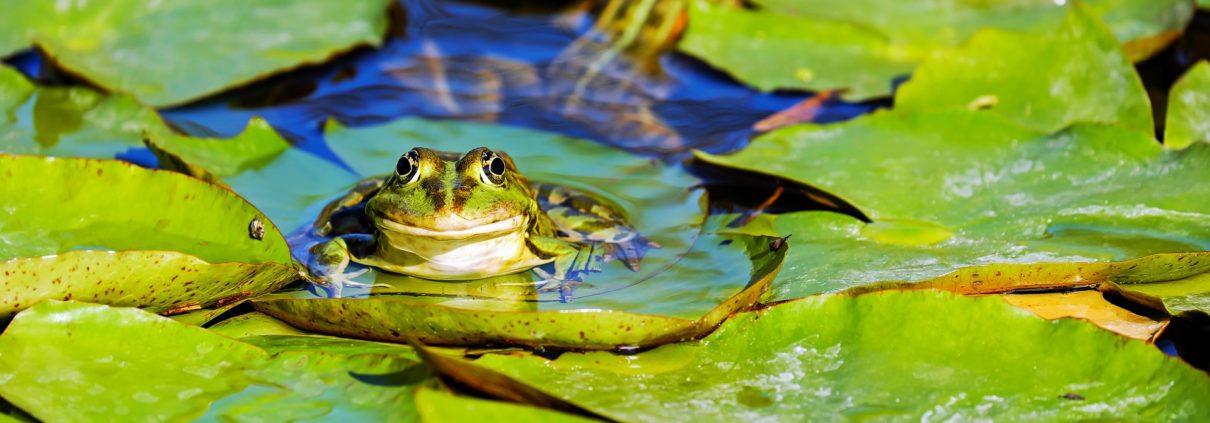
Some of the pictures in the video were taken to show what to do if you are building a pond or lake for trophy bass fishing. The pond should be deep at the shoreline. This is designed to keep shallow water plants and weeds from invading your pond or lake. Also, structures should be left in the lake to improve the habitat for the fish. Often these large bass will use these structures to ambush bait fish. Also, notice the shallow mounds built in the pond, these are great for spawning bass and bream!!


The take away is this…if you are planning to buy land for building a pond, agricultural purposes, timberland or whatever, use an Accredited Land Consultant. You need someone advocating for you that understands land and land brokerage. This person needs an in-depth understanding of topographic maps and watersheds.

This article was originally featured on Kent’s blog Land Blog…Get The Dirt! He writes about all things land, from timber to selling land to lessons learned from his 40 years in the industry. Check out his blog for more excellent content!

Kent Morris, ALC, is a Registered Forester and Associate Broker who has experience in fields such as timber appraisals, harvesting, thinnings, and timber sales.

Pond Management: Why is My Pond Filling Up?

I hear this question all the time when it comes to pond management and it’s a good question: Why is my pond filling up? Actually, your pond is designed to fill up. I used to work for a coal mining company and we would construct sediment ponds. They were designed to collect run off from the mine site and allow the sediments to settle out of the water before discharge into a stream or creek. Recently, I was fishing in a large pond, about 20 acres in size. The pond had a concrete dam which was about 30 feet high on the exposed side. You could actually take your fishing pole and touch the bottom of the pond just about the dam. This pond had 50 years to fill up!

When creeks are running at high velocity after a rain event, the fast moving water carries soil particles in suspension. The following picture shows fast moving water in a creek channel filled with soil particles.

The faster the water velocity, the larger particle size the water can move.
As the water enters a pond or impoundment, the water velocity slows down allowing the soil particles to settle out and they simply drift to the bottom. The following picture shows a distinct difference in the water color. The water entering the pond is full of soil particles (including red clay).

This is nothing to be alarmed about… the pond is just doing it’s job. The only thing you can do when it comes to pond management to alleviate the problem is build a series of smaller ponds (detention ponds), this allows the water entering the last and largest pond to be practically free of soil particles. Enjoy your pond… and get out and fish!!

Kent Morris, ALC, is a Registered Forester and Associate Broker who has experience in fields such as timber appraisals, harvesting, thinnings, and timber sales. He writes articles about these fields and more in his blog Land Blog…Get The Dirt!

The Top Land Blogs to Follow!

Buying or selling land can be confusing and complicated at times. It helps to partner with a land professional. You the client need to be educated about the process, intricacies around land ownership and many other facets surrounding all things LAND. There are many blogs out there that cover these topics and a lot of this information is available to you through blogs. Experts in the field often write blogs where they have an opportunity to share their knowledge….so why not take advantage.

I wanted to mention just a few, I hope you find these helpful.


Lands of America Blog

One of the leading website for rural land searches. Their post are written from many land professionals around the country and contain information you need to know!


LandThink

A great website full of information. This is the parent company for LandFlip.com a great site for searching for land and farms. The content often contains surveys from land professional across the country. Want to get land savy? Read their blog.


Southeastern Land Group Blog

Great content from their land agents. The content often covers topics about buying and selling land, transaction process and a wide variety of great information. One of my favorite bloggers is Jonathan Goode.


REALTORS® Land Institute Blog

Institute of  Land Broker professional from across the Country. Their Blog post come from members with a diverse background including Forestry, Agricultural, Farms, Ranches and a lot more!!

Land Blog.. Get the Dirt!

I had to plug my own blog. With over 35 years of experience in the timber, land management and land brokerage business, I love to share information to help buyers and sellers! My blog is narrowly focused to cover land, real estate and forestry topics!


Kent Morris, ALC is a Registered Forester and Associate Broker who has experience in fields such as timber appraisals, harvesting, thinnings, and timber sales. He writes articles about these fields and more in his blog Land Blog…Get The Dirt!

Site Index – A Measure of Forest Productivity

Site index is a term used in forestry to describe the potential for forest trees to grow at a particular location or “site.” Just as a farmer might discuss soil productivity in terms of bushels per acre, forestland is compared by site index. In the good ole days, site index was measured using a base age of 50 because for the most part forest were naturally generated and grown for a long period of time. Currently with the huge improvements made with genetics, pines grow much faster and are harvested before the age of 50. Many stands are harvested when the trees reach an age of 25-35 years of age. As a result, site indexes on pine plantations are calculated using a base age of 25. For the most, site indexes are constrained to the type of soil (texture, parent material, amount of organic material etc) but forest practitioners have found way to increase site index through tillage and fertilization. Tillage is the preparation of land through mechanical means to remediate a hard pan or fracture soils. This process improves soil texture so tree roots can rapidly grow through the soil profile. This is typically done with a ‘savannah plow’.

In some low lying areas prone to flooding, a bedding plow may be used create a ridge and furrow so the trees will not be flooded. The trees are planted on the ridges to keep their feet (roots) dry.

How do you go about measuring Site Index? A tree is measured to be 60 feet (18 m) in overall height, and the stand age is determined to be 50 years old. To find site index from a site index curve, one would find age 50 along the x-axis and then find 60 feet (18 m) along the y-axis. The tree age is determined by using an ‘increment borer’ to extract a core whereby one can count the tree rings to determine the tree’s age. From there, you simply go to a ‘site index’ curve and determine the site index.

Well, enough of all the technical jargon. Why is this important? If you have narrowed your property search to 2 properties (all other things being equal), you might make your buying decision on ‘Site Index”.


Kent Morris, ALC is a Registered Forester and Associate Broker who has experience in fields such as timber appraisals, harvesting, thinnings, and timber sales. He writes articles about these fields and more in his blog Land Blog…Get The Dirt!