Sifting Through The Science of Farmland Soil Health
“Under All Is The Land” – the motto of the National Association of REALTORS® could not better encompass the enormity of that statement so succinctly. Indeed, the essence of all we do is upon, within, and determined by the land; its location, structure, depth, topography, and a myriad of other land factors that dictate and influence our lives and, certainly, our livelihood. We build our homes, cities, factories, and roads on the land, and put the lines and pipes to serve them under it. We till and farm and irrigate the land to feed ourselves and much of the rest of the world. We draw imaginary lines on the land and fight wars over it. Land is literally and figuratively our foundation. Of particular interest to the land brokers who comprise the REALTORS® Land Institute, is that portion of the land we call soil.
“It’s not dirt, its soil!”
“It’s not dirt, its soil!” is an often used distinction between what you plant your crops in and what you track into the house on your boots. While the words are colloquially used interchangeably, the study of soils is a fascinating exploration into the resource beneath our feet. Land brokers, particularly those involved in farm sales, can benefit from some basic soil knowledge. Many farm brokers were raised on farms and work in the ag communities where an understanding of “good dirt” is common. The underlying reasons, those identified by farmland soil science, are important to the users of the land, particularly farmers, and means that those who broker that land should also have a basic understanding of the elements of soil health.
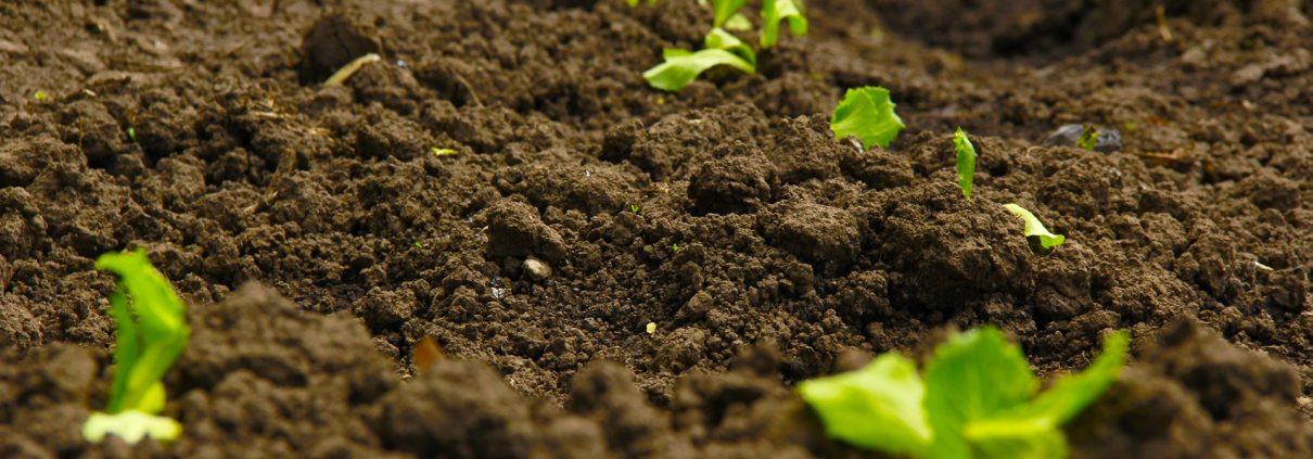
Topsoil is the uppermost layer of soil and comprises the elements that make crop production possible. Topsoil is a very valuable and precious resource – it takes 500 to 1,000 years to create a single inch of topsoil that can be lost in minutes to erosion or improper management. Soil is developed from parent material (rock) over the span of millennia by the ongoing natural actions of weathering: wind, water, heat, cold, freezing, thawing, chemical and biological action, topography, and time. Constant, careful, and deliberate management measures must be applied to property manage our topsoil resource, keep it healthy and productive, and prevent unnecessary loss due to erosion.
The largest man-made environmental disaster in the U.S. was the great Dust Bowl of the 1920s and ‘30s. Because of mismanagement, and a lack of foresight and understanding, a vast area of the central U.S. was devastated by loss of topsoil due to improper farming practices and sustained wind which resulted in economic collapse and the largest relocation of our population in U.S history, as farms went broke and people left the land. This is not just past history that can be acknowledged and forgotten, because without vigilance, it could happen again. In just the last 5 years, virgin grasslands in sensitive, arid areas have been plowed and planted with the expectations of profits from high commodity prices. When those prices inevitably adjust downward, those fragile soils may be subject to excess erosion.

In the wake of the Dust Bowl, the Soil Conservation Service was formed by the Federal Government to research the causes and prevention of massive soil erosion and take steps to train landowners, make relevant law and policy, and buy back and set aside formerly privately owned land for restoration. The establishment of our system of National Grasslands came about by these efforts. Other government efforts that offered landowner incentives to take highly erodible lands out of production produced programs such as the original Land Banking program and the decades-old Conservation Reserve Program, still in use.
The efforts of decades of the soil conservation movement are evident throughout U.S. farmland with the use of terracing, tiling, contour farming, grass waterways, strip farming, retention of crop residues, irrigation management, and numerous other practices that are a part of modern American agriculture.
Soil is very much alive. The makeup of topsoil includes the geosphere (rock and parent material), the biosphere (millions of bacteria, fungi, worms and other life), and the atmosphere (air and pore spaces for water movement, and oxygen for chemical and biological action). A healthy soil is teeming with life. Preserving and enhancing a soil environment that can host and encourage biological action is a goal of proper soil management.
Management and the health of topsoil are critical and include proper tillage methods, prevention of soil erosion, and retention of crop residue to enhance organic matter content. The Natural Resources Conservation Service (NRCS), formerly the Soil Conservation Service, is an agency of the United States Department of Agriculture (USDA) that provides information, education, services, and assistance to landowners to develop and maintain conservation plans. Most crop price support, crop insurance, and cooperative assistance programs offered by the Farm Service Agency (FSA) require that a landowner must have an NRCS approved conservation plan as a condition of participation in the program. NRCS is also responsible for creating and updating the Soil Survey, a valuable source of information in both printed and on-line digital form (more on that later).

It is common for a farmer or landowner to discuss soil types in terms of the soil’s texture, such as a “loamy” soil or a “clay” soil. Soil is comprised of three soil texture types, all based on the size of the soil particles. The three basic soil textures, in order of size from largest to smallest, are: sand, silt, and clay. A loam is a mixture of varying amounts of sand, silt, and clay. Specific soil textures are determined by using a soil textural triangle based upon the percentage of sand, silt, and clay in a particular soil sample (see illustration). NRCS provides an online calculator that is a great resource for calculating soil texture.
Soil health and fertility status is best determined by an on-site sampling of soils, usually in a grid pattern, submitted for laboratory analysis.
The soil test lab report provides valuable information on the makeup of the soil, its pH (acidity or alkalinity), and cation exchange capacity (CEC). CEC is a determination of the ability of the soil components (primarily clay and humus) to allow for the absorption and transport of soil nutrients from the soil to the plant roots. It is essentially a measure of the soil’s ability to hold nutrients and feed the plants. Fertilizer recommendations are based on the results of a proper soil test. Variations of soil types on a farm, and even in a particular field, can be identified and accounted for. When the information is translated to geo-spatial formats, current precision agriculture technology using GPS location equipment has the ability to make on-the-go adjustments for varying soil types and fertilizer needs.

A farm broker often needs to provide soil information on a property to prospective buyers. As always, the landowner, manager, or operator is a good first source, particularly if they utilize the services of a crop production adviser who analyzes the soil conditions periodically. A very good general source of soil information is the USDA/NRCS Web Soil Survey, an online resource that provides information on most U.S. soils. A broker can readily create a soils map, from the Web Soil Survey, and accompanying summary of soil capability, average expected crop yields, and more.
The Web Soil Survey has links to a vast amount of soil information, education, and a tutorial on using the survey. A handy green “start” button opens the survey itself. The process is started on the Area of Interest (AOI) tab by defining the subject parcel as a specific area which narrows the parcel search to the level of section, township, and range. Other methods to find and define the AOI are street address, GPS coordinates, and other reference maps, in addition to the Public Lands Survey System legal description. Once the map is zoomed to the general selected area, a specific location is automatically plotted on an aerial map utilizing the AOI tool to define rectangular or trapezoidal parcel boundaries. Once the Area of Interest is defined, a click on the Soil Map tab creates a map of soil types shown on the subject parcel. Once presented with the soil map, a click on the Soil Data Explorer tab provides an extensive selection of soil attributes, analyses, and limitations on use for the area defined. Ag lands would utilize info such as crop production capability classes, expected yields, and erosion susceptibility. One can also find info and potential limitations in regard to septic system leaching fields, road construction, and other engineering and construction topics. Once the map and information is selected, the user clicks on the Shopping Cart tab to obtain the map and report in digital form for download, or in printable form. The information is free, despite use of the term “shopping cart.”

For the brokers who wish to provide basic soils information for a particular parcel, the Web Soil Survey is a quick, easy to use tool that provides the ability to create a comprehensive soil map and report for any listing. This is a good way to work with your clients to provide valuable information on a sale property and impressive data to prospective buyers. More specific information and education can be obtained locally at the nearest USDA Farm Service Agency. Most counties in the U.S. have an office and can direct you to the best sources of information, including a locally or regionally available soil scientist.
A comprehensive understanding of all things soil related would require much study and education, but a great deal of this valuable information can be obtained, analyzed, and presented for free through the programs explained here. Hopefully, you will have gained a bit of historical perspective and direction. If you are a landowner trying to sift through soil science, it is important to Find A Land Consultant with expertise on the subject, like an Accredited Land Consultant (ALC). If you are a land agent and interested in learning more on this topic, make sure to take RLI’s Agricultural Land Brokerage and Marketing and Land 101: Fundamentals of Land Bokerage LANDU courses.
This article was originally published in the Fall 2015 edition of the Terra Firma land real estate magazine published by RLI.
 About the author: Kirk Goble, ALC, has been a Colorado licensed real estate broker since 1988 and founded The Bell 5 Land Company in 2000. He specializes in farm, ranch, land, and water brokerage. He is a member of the National Association of REALTORS®, The Greeley Area REALTOR® Association, and the REALTORS® Land Institute. Goble was awarded the Land REALTOR® of America by the REALTORS® Land Institute in 2013 and is a LANDU instructor for RLI.
 About the author: